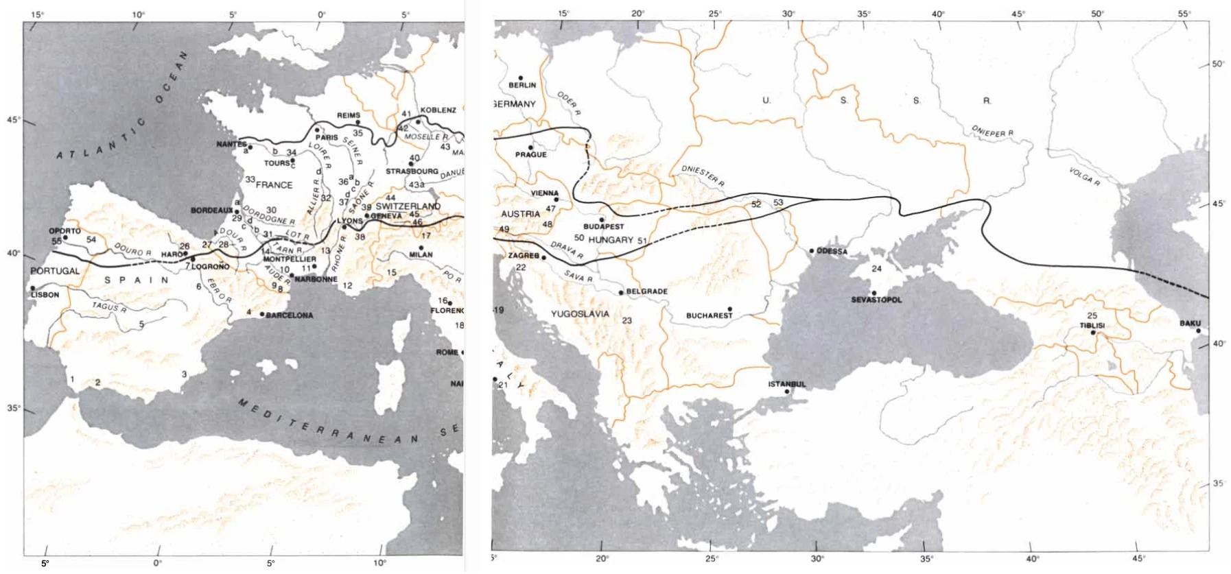
WINE-PRODUCING REGIONS of Europe and the region around the Mediterranean are shown on a map that is distinguished by two lines running predominantly from west to east. The upper line marks the northern limit of cultivation for wine grapes. The lower line divides areas which are under influence of the Mediterranean climate from the area in which temperate climate conditions are dominant. The numbers are related to the key on the left side of the map (provided as a separate legend figure), where the wine growing regions are named. A number of cities are identified on the map as points of reference. The countries are the ones that have been cited in the map key.
Map from Wines, Grape Vines and Climate, Philip Wagner, June 1974 Scientific American, pages 106-115